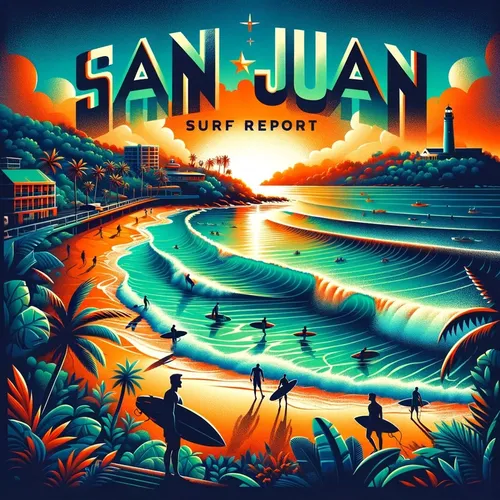
San Juan, PR - Carolina, San Juan and Toa Baja, Rincon Surf Report for 09-08-2024
- Author
- Quiet. Please
- Published
- Sun 08 Sep 2024
- Episode Link
- https://www.spreaker.com/episode/san-juan-pr-carolina-san-juan-and-toa-baja-rincon-surf-report-for-09-08-2024--61300721
Ahoy, beachgoers and surf enthusiasts! Get ready for your daily dose of surf zone forecast fun in the sun!
Let's dive into the waves in San Juan and Vicinity, where today we're looking at a moderate rip current risk with surf heights around 4 feet. Expect mostly cloudy skies with numerous showers and isolated thunderstorms. Keep an eye out for those sneaky rip currents! Tomorrow, a similar setup with a moderate rip current risk and 4-foot waves, so make sure to catch those breaks between the raindrops.
Moving over to Northeast PR, you're in for some 4-foot waves with a moderate rip current risk. A mix of clouds and showers await you. And hey, even on Tuesday, the waves stay around 4 feet with more showers and storms in the forecast. Hang ten and enjoy the ride!
Now, if you're in Mayaguez and Vicinity, get ready for some sunny spells followed by cloudy skies with scattered thunderstorms. The surf is a bit calmer at around 2 feet, so maybe a good time for some longboarding action!
For those in Culebra, keep an eye on those 4-foot waves with a moderate rip current risk. Plan for mostly cloudy skies and plenty of showers. Remember, safety first, folks!
And to wrap it up, over in St. Thomas, St. John, and adjacent islands, you're looking at low rip current risks and around 3-foot waves. Expect a mix of clouds and scattered showers. Keep that sunscreen handy!
Remember, always respect the ocean, watch out for rip currents, and have a great time catching those waves! This has been a Quiet Please Studios audio creation with the help of AI. Please subscribe and never miss a Swell! Thank you for listening.