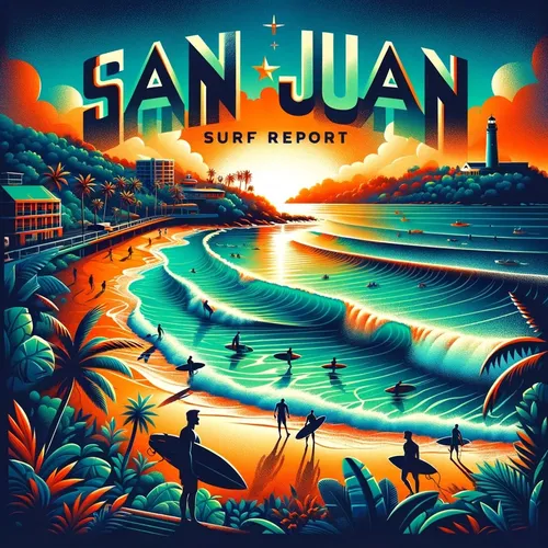
San Juan, PR - Carolina, San Juan and Toa Baja, Rincon Surf Report for 08-05-2024
- Author
- Quiet. Please
- Published
- Mon 05 Aug 2024
- Episode Link
- https://www.spreaker.com/episode/san-juan-pr-carolina-san-juan-and-toa-baja-rincon-surf-report-for-08-05-2024--60924487
Hey there, surfers and beach enthusiasts! Are you ready for a wave of info? Here's your playful surf forecast for Puerto Rico and the U.S. Virgin Islands brought to you by the cool folks at the National Weather Service in San Juan!
Today, the surf's up with rip currents hanging around, so keep your eyes peeled! Expect around 6 feet of surf height in San Juan and Vicinity with a mix of sun, haze, and scattered showers. Get ready to hang ten with east winds blowing at 10 to 15 mph.
For Tuesday, the rip current risk dips to moderate, and the surf height lowers to around 4 feet. What's on the weather menu? Mostly sunny skies and isolated showers with those same east winds at 10 to 15 mph.
As we cruise into the mid-week, the waves remain steady around 4 feet, with some thunderstorm action on Wednesday. By Friday, the surf height might pick up a bit to around 4 feet again with numerous showers in the mix.
Now, let's catch the surf vibe in Northeast PR where Rio Grande, Luquillo, Fajardo, and Humacao are calling! The rip currents are high today with a surf height of 6 feet and gusty east winds around 15 mph. Keep an eye out for scattered showers under partly sunny skies.
As we slide through the week, the surf height decreases to around 4 to 5 feet with similar weather patterns continuing - partly sunny days with some isolated showers here and there. Wednesday might bring on some thunderstorm goodness!
And to all our buddies in the other areas - North Central PR, Northwest PR, Mayaguez, Southwest PR, Ponce, Southeast PR, Culebra, Vieques, St. Thomas, St. John, and St. Croix - get ready for some fun under the sun with varying surf heights and weather conditions along the way!
Remember to stay safe out there and watch out for those rip currents. Until next time, catch you on the flip side and hang loose! This has been a Quiet Please Studios audio creation with the help of AI. Please subscribe and never miss a Swell! Thank you for listening.