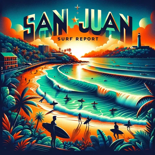
San Juan, PR - Carolina, San Juan and Toa Baja, Rincon Surf Report for 07-23-2024
- Author
- Quiet. Please
- Published
- Tue 23 Jul 2024
- Episode Link
- https://www.spreaker.com/episode/san-juan-pr-carolina-san-juan-and-toa-baja-rincon-surf-report-for-07-23-2024--60775659
Ahoy there, surfers and beach lovers! Welcome to your go-to spot for all things wave-related. Let's dive into the juicy details of your Puerto Rico and U.S. Virgin Islands surf zone forecast!
Starting off with **San Juan and Vicinity,** today's brew brings us a moderate rip current risk, with surf heights hitting around 4 feet. The weather? Partly sunny with scattered showers to keep you on your toes. Expect those East winds to be cruising at 10 to 15 miles per hour.
As we sail into **Wednesday,** the rip current risk drops to low with 3-foot waves on the horizon. Don't forget your umbrella as numerous showers and isolated thunderstorms might come your way. East winds will still be rocking at 10 to 15 miles per hour.
In the dazzling land of **Northeast PR,** today serves us a moderate rip current risk with 4-foot waves. The sky might play a game of peek-a-boo with mostly cloudy weather and numerous showers dancing around. East winds will be blowing at around 15 miles per hour.
For **North Central PR,** the recipe today calls for a moderate rip current risk with 4-foot waves. Enjoy the sunny vibes until noon, as scattered showers make an appearance later on. East winds will be your wingman at 10 to 15 miles per hour.
And for all you adventurists in **Northwest PR,** expect a moderate rip current risk today. 4-foot waves will be your playground amidst a mix of sunshine and clouds. Brace yourselves for numerous showers and isolated thunderstorms. East winds starting at 10 mph and cranking up to 20 mph later in the day.
To our buddies in **Mayaguez and Vicinity,** a low rip current risk is in store, with 3-foot waves to play in. The weather will toggle between sunny and cloudy, with a chance of numerous showers and isolated thunderstorms. East winds will be breezing through at 5 to 10 mph.
Adding a pinch of excitement for **Southwest PR,** today promises a moderate rip current risk, 4-foot waves, and mostly sunny skies with scattered showers. And those East winds? Starting at 10 to 15 mph, then revving up to 20 mph later in the day.
Heading over to **Ponce and Vicinity,** get ready for a low rip current risk today, with 3-foot waves rolling in. Expect mostly sunny weather with isolated showers to keep things interesting. East winds will be your soundtrack at 10 to 15 mph.
In **Southeast PR,** a moderate rip current risk is on the menu, paired with 4-foot waves and partly sunny skies. Scattered showers will make an appearance, along with East winds cruising at 10 to 15 mph.
Now, for our buddies in **Culebra and Vieques,** a low rip current risk is on the horizon, with 3-foot waves waiting to be surfed. Partly sunny skies will play host to numerous showers and isolated thunderstorms, accompanied by East winds around 15 to 20 mph.
Finally, for **St. Thomas, St. John, and St. Croix,** expect low to moderate rip currents, ranging from 3 to 4-foot waves. Sunshine, scattered showers, and those trusty East winds will be part of your daily beach repertoire.
Get ready to ride those waves and soak up the sun, beachgoers! Remember, always keep an eye out for any changes and stay safe out there. This has been a Quiet Please Studios audio creation with the help of AI. Please subscribe and never miss a Swell! Thank you for listening.