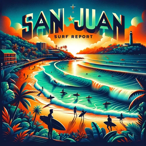
San Juan, PR - Carolina, San Juan and Toa Baja, Rincon Surf Report for 06-02-2024
- Author
- Quiet. Please
- Published
- Sun 02 Jun 2024
- Episode Link
- https://www.spreaker.com/episode/san-juan-pr-carolina-san-juan-and-toa-baja-rincon-surf-report-for-06-02-2024--60253639
Hey there beach lovers, surfers, and wave riders! Ready for your daily dose of surf zone forecast fun? Let's dive right in and see what the waves have in store for us in Puerto Rico and the U.S. Virgin Islands.
Starting off with today, we've got a moderate rip current risk along with around 4 feet of surf height. The weather will bring us a mix of sunshine, clouds, and hazy conditions, with numerous showers and isolated thunderstorms. So keep an eye out for those pop-up storms! Winds will be blowing from the East at 10 to 15 miles per hour.
Moving on to tomorrow (Monday), the rip current risk stays moderate with the surf height holding steady around 4 feet. Expect mostly sunny skies turning into mostly cloudy later on, with plenty of showers and isolated thunderstorms in the forecast. Winds shift to the Southeast at 10 to 15 miles per hour.
As we look ahead to the rest of the week, the waves will be around 3 feet high on Tuesday, with more showers and thunderstorms expected. Wednesday and Thursday will see the surf height decreasing to around 2 feet with continued unsettled weather, so keep those rain jackets handy!
For all our fellow surfers in different regions like Northeast, North Central, Northwest, Mayaguez, Southwest, Ponce, Southeast, Culebra, Vieques, St Thomas, St John, and St Croix - make sure to check your specific forecasts for the latest updates.
And remember, always be cautious of those rip currents, especially when the risk is moderate! Stay safe out there and catch some awesome waves. This has been a Quiet Please Studios audio creation with the help of AI. Please subscribe and never miss a Swell! Thank you for listening.