Lucasfilm’s Updated STAR WARS Map Lets You Travel to the Galaxy Far, Far Way
- Author
- Nerdist.com
- Published
- Fri 27 Jun 2025
- Episode Link
- https://shows.acast.com/nerdist-in-audio/episodes/685e9287653df36e7bd0f5d2
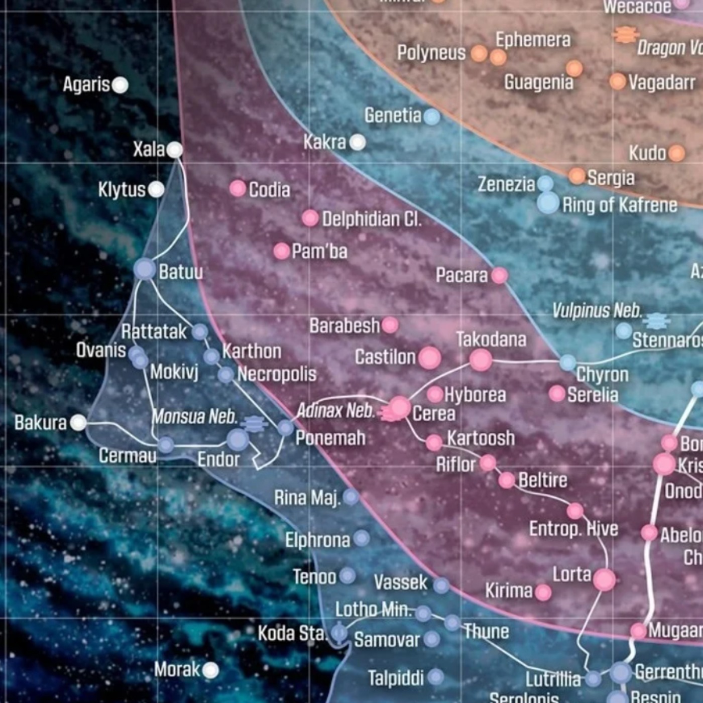
Lucasfilm has released a new, official map of the Star Wars galaxy, created specifically for its multi-platform publishing initiative, The High Republic. This era is set 200 years before the events of the Skywalker Saga.
The map, designed by Star Wars author and cartographer Jason Fry, is crucial for establishing the setting of this new time period. Here are the key takeaways:
- A Frontier Galaxy: The map depicts the Outer Rim as a dangerous and largely unexplored frontier. This is a major difference from the prequel and original trilogy eras, where the Outer Rim is more settled.
- The Republic's Reach: The Republic's influence is not as widespread as in later eras. The map visually establishes the Core Worlds as the center of power and the Outer Rim as a "Wild West" full of opportunity and peril.
- Key Locations: It highlights new, important locations for The High Republic stories, most notably the Starlight Beacon, a massive space station that serves as a symbol of the Republic's hope and expansion into the frontier.
- Galactic Geography: The map clearly lays out the established regions of the galaxy, from the dense Deep Core (home to Coruscant) through the Core Worlds, the Inner and Mid Rims, and out to the vast Outer Rim. It also includes the mysterious Unknown Regions.
- Hyperspace Lanes: It features the major hyperspace lanes, like the Perlemian Trade Route and the Corellian Run, which are the "highways" of the galaxy and crucial for trade and exploration.
In essence, the map serves as a foundational guide for fans, visually grounding them in the unique political and geographical landscape of The High Republic era and emphasizing its core themes of exploration and discovery on the edge of the known galaxy.
Visit https://nerdist.com/article/updated-official-star-wars-map-from-lucasfilm/ to read or listen to the article.
Powered by Instaread (https://instaread.co/player)
Hosted on Acast. See acast.com/privacy for more information.