Connecting Tribal Lands with NASA Remote Sensing Tools
- Author
- The Bay Area Environmental Research Institute
- Published
- Fri 26 Feb 2021
- Episode Link
- https://baeri.libsyn.com/connecting-tribal-lands-with-nasa-remote-sensing-tools
Remote sensing is a powerful tool - it can be used to map the topography of the ocean floor, track the ash plume of an erupting volcano, or understand drought patterns on tribal lands. As the technology becomes easier for tribal land managers to use, the biggest challenge isn’t navigating the data - it’s navigating the human relationships and conversations about how to make that data more useful.
For the Love of Science is produced by the Bay Area Environmental Research Institute. Learn more at: baeri.org
Music by Danny Clay.
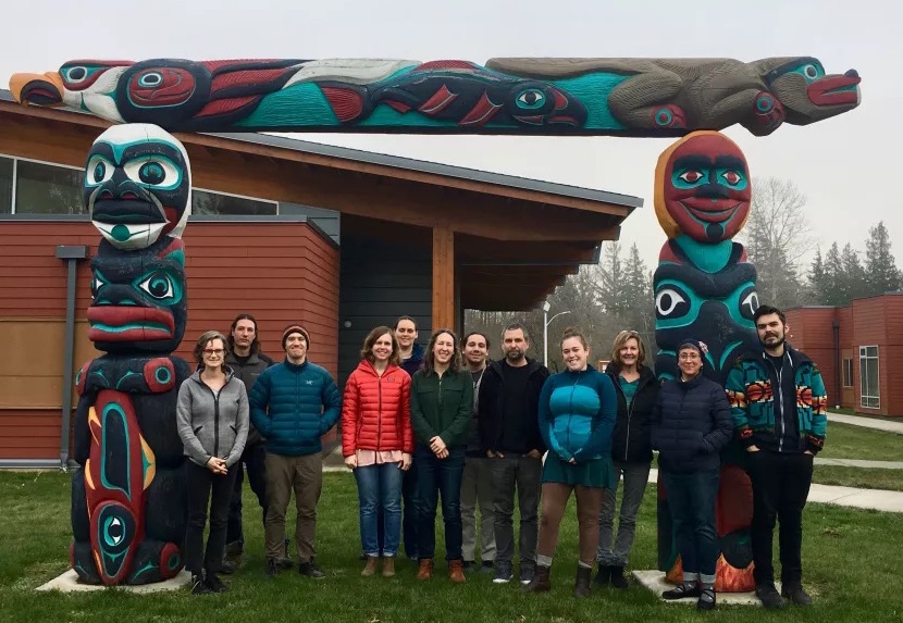
GuestsJames Rattling Leaf Carlee McClellan Amber McCullum Cindy Schmidt Nikki Tulley
Learn moreNasa Earth Observations Training Course: An introduction to remote sensing for tribal lands GEO Indigenous Summit 2020 DSET Fact sheet More about the DSET project Blending science and tradition