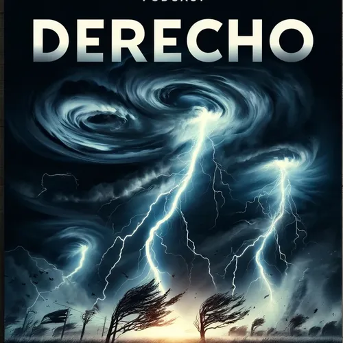
Midwest and Great Lakes Brace for Severe Weekend Storm with Potential Derecho Conditions
- Author
- Inception Point Ai
- Published
- Sat 19 Jul 2025
- Episode Link
- https://www.spreaker.com/episode/midwest-and-great-lakes-brace-for-severe-weekend-storm-with-potential-derecho-conditions--67036500
A large swath of the Midwest and Great Lakes is under a heightened severe weather threat this weekend as a potent storm system rapidly evolves over the region. Nearly 40 million people, including those in metropolitan areas such as Chicago, Detroit, Des Moines, and Indianapolis, are being urged by the National Weather Service to closely monitor evolving conditions as a mesoscale convective system, or MCS, develops and races eastward. According to Fox Weather, this system carries the potential for damaging winds, large hail, flash flooding, and even isolated tornadoes, with peak risks expected between Friday night and Saturday.
If the MCS sustains its intensity and travels more than 250 miles while producing a swath of hurricane-force winds, it could be classified as a derecho, an event known for its destructive, long-lived straight-line winds. As AccuWeather reports, the system is expected to impact not only the initial target areas but could also expand risk zones to cities like Erie, Cleveland, and Fort Wayne—placing almost a dozen states at risk. Forecast models highlight that the fate of this severe episode depends on the system's ability to maintain strength over hundreds of miles, a critical element in derecho formation.
The Storm Prediction Center has currently placed the heart of the threat under a "slight" risk, but meteorologists warned this designation could be raised should new data suggest a broader or more intense outbreak. In some social media updates, including on TikTok and YouTube, meteorologists highlighted wind gust potentials of 50 to 65 miles per hour, especially overnight, with the greatest risks of damaging winds focused on Iowa, southern Minnesota, and northern Illinois and Indiana. There is also a continuing tornado threat across this region.
Derechos are rare, with historical data from NOAA showing most occur between May and August, often following the edge of strong high-pressure ridges across the U.S. heartland. Notably, the possibility of a derecho unfolding over such a populated corridor raises concern for widespread power outages, tree and structural damage, and considerable travel disruption.
Forecasters urge listeners in these areas to have multiple methods of receiving weather alerts, as conditions can deteriorate rapidly after dark. Authorities recommend moving to sturdy shelter well ahead of approaching storms, especially in situations where hurricane-force winds and isolated tornadoes may threaten during overnight hours. Those in the projected storm path are encouraged to charge devices, secure outdoor items, and check on neighbors, especially those most vulnerable.
Thanks for tuning in to this essential update. Be sure to come back next week for more severe weather coverage and insights. This has been a Quiet Please production, and for more, check out Quiet Please Dot A I.
Some great Deals https://amzn.to/49SJ3Qs
For more check out http://www.quietplease.ai
This content was created in partnership and with the help of Artificial Intelligence AI
